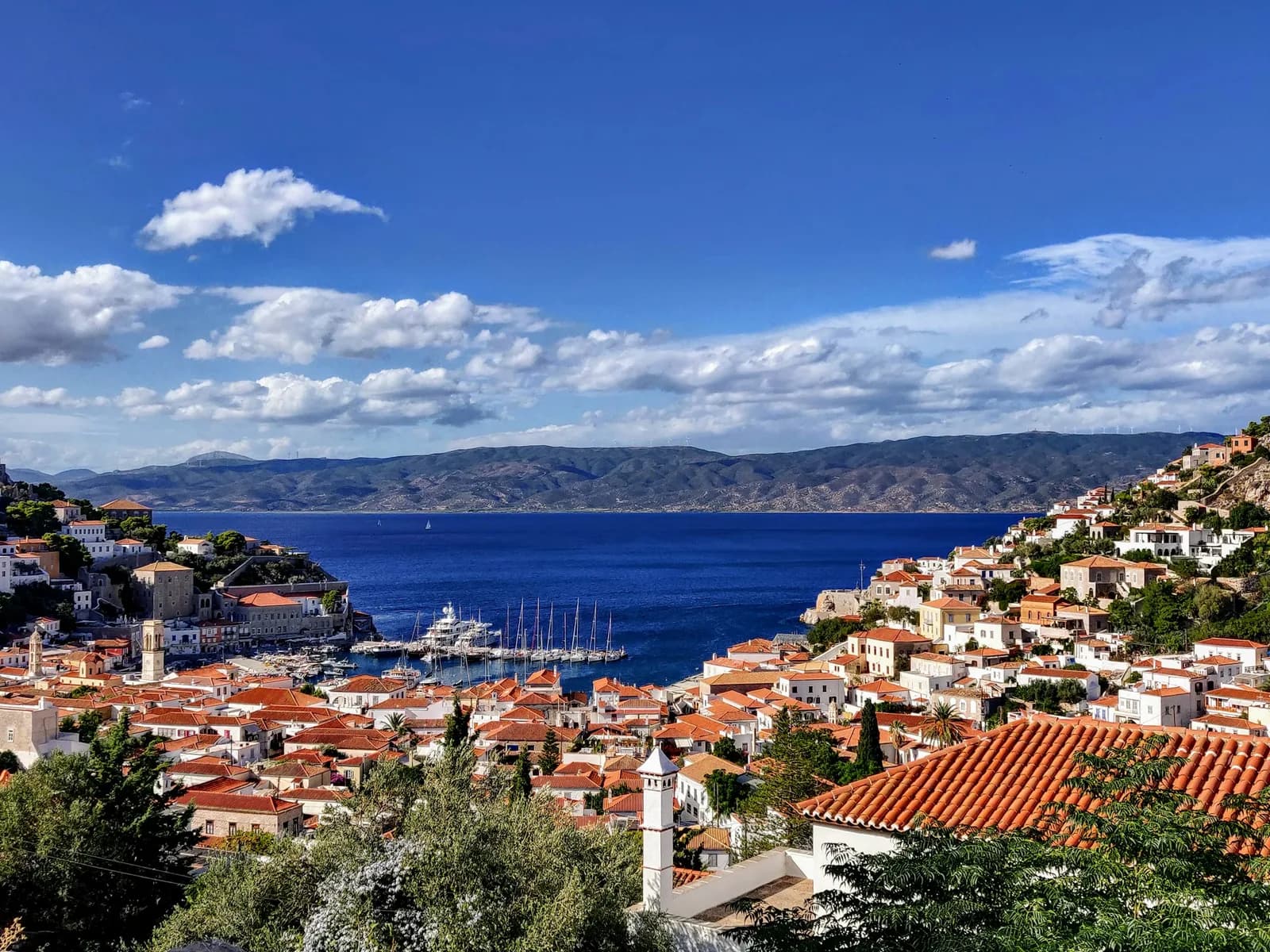
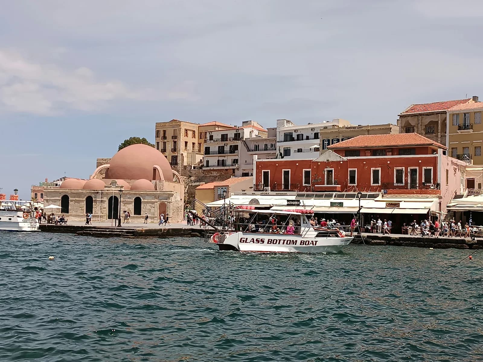
The west coast of Crete is one of the wildest sails in Greece: villages reachable only by sea, the Samaria Gorge as a backdrop, and a Libyan Sea that changes fast. Around 147 miles from Chania, for a comfortable crew. This is not a chain of islands but an exposed coast with few shelters, so the weather calls the shots. Full detail below.
In brief
| Item | Detail |
|---|---|
| Base | Chania, Heraklion or Agios Nikolaos |
| Access | Direct flights to Chania (CHQ) and Heraklion (HER) |
| Total distance | ~147 NM |
| Sailing time | ~30 h over 7 days |
| Duration | 7 days / 6 nights |
| Level | Confident, the south coast being exposed with few shelters |
| Recommended boat | Sturdy 42-46 ft monohull |
| Best time | May-June and September |
| Winds | Meltemi N-NW, accelerating around the capes; south coast exposed to swell |
| Indicative budget | ~750 to 1,200 € per person (see Sailing budget in Greece) |
Base logistics: Crete has few charter bases (Heraklion, Agios Nikolaos; the Venetian old harbour of Chania is small and shallow). Expect a delivery or an offset start depending on the base.
Explore the stops
Approximate destination locations for trip planning. Use current nautical charts and local information for navigation.
Chania · Kissamos · Phalasarna · Palaiochora · Sougia · Agia Roumeli · Loutro
Weather month by month
| Month | Conditions | Air | Sea | Note |
|---|---|---|---|---|
| May | Often manageable sea | 22-25° | 18-19° | Good compromise |
| June | Moderate Meltemi | 26-29° | 21-22° | Ideal |
| July | Strong at the capes | 29-32° | 23-24° | Muscular south coast |
| August | Strong Meltemi | 30-33° | 24-25° | Book, weather margin |
| September | Easing | 26-29° | 23-24° | Ideal |
| October | Variable | 22-25° | 22-23° | End of season |
Day by day
Day 1, Chania to Kissamos, 22 NM, ~5 h
Anchorage: Kastelli-Kissamos harbour, decent shelter. Provisions in town.
Ashore: a trip to the Balos lagoon and the Gramvousa peninsula (turquoise water, pink-sand lagoon).
Warning: Kissamos bay can build a chop in a westerly.
Day 2, Kissamos to Phalasarna, 10 NM, ~2 h
Anchorage: an open roadstead, fair weather only.
Ashore: a long wild beach, the ruins of the ancient city, one of the best sunsets in Crete.
Warning: no shelter in a westerly, calm-weather anchoring only.
Day 3, Phalasarna to Palaiochora, 35 NM, ~7 h
Sailing: round the western cape (Gramvousa, Elafonisi) and onto the south coast, the most committing leg.
Anchorage: the small harbour and bay of Palaiochora.
Warning: exposed cape, a weather window is essential; the wind accelerates around it.
Day 4, Palaiochora to Sougia, 18 NM, ~4 h
Anchorage: the open roadstead of Sougia (shingle), a quiet end-of-road village.
Ashore: the hinterland of the gorges, walking trails.
Warning: few facilities, anchorage exposed to the south.
Day 5, Sougia to Agia Roumeli, 12 NM, ~3 h
Anchorage: an open roadstead off the mouth of the Samaria Gorge, by day and in fine weather.
Ashore: a village reachable only by sea or through the gorge, the finish line for hikers.
Warning: a very exposed roadstead, not for a windy night.
Day 6, Agia Roumeli to Loutro, 10 NM, ~2 h
Anchorage: Loutro, one of the few real shelters on the south coast, a horseshoe bay protected from the north, a village with no road or car.
Ashore: waterside tavernas, the path to Marmara, a well-earned rest.
Day 7, Loutro to Chania, 40 NM, ~8 h
Sailing: back around the western cape, a long leg, leave early for the morning calm.
Summary table
| Day | Leg | NM | Time (~5 kn) | Anchorage | Shelter |
|---|---|---|---|---|---|
| D1 | Chania to Kissamos | 22 | ~5 h | Kastelli-Kissamos | Fair |
| D2 | Kissamos to Phalasarna | 10 | ~2 h | Open roadstead | Poor (fair weather) |
| D3 | Phalasarna to Palaiochora | 35 | ~7 h | Palaiochora | Moderate |
| D4 | Palaiochora to Sougia | 18 | ~4 h | Sougia | Poor |
| D5 | Sougia to Agia Roumeli | 12 | ~3 h | Open roadstead | Poor (by day) |
| D6 | Agia Roumeli to Loutro | 10 | ~2 h | Loutro | Good (from north) |
| D7 | Loutro to Chania | 40 | ~8 h | base | n/a |
| Total | ~147 | ~30 h |
Practical checklist
- Licence: coastal licence plus ICC plus VHF Short Range Certificate — see Do you need a licence to sail in Greece.
- Self-sufficiency: a harbour-poor coast, take on water, fuel and provisions before heading south.
- Weather: watch the southerly swell and the Meltemi closely; keep margin on Days 3 and 7.
- TEPAI and the usual papers.
Booking and preparation
- Compare boats available from Chania, Heraklion or Agios Nikolaos.
- Charter insurance strongly recommended for this coast.
- Flights: to Chania (CHQ) or Heraklion (HER).
- Shore activities: the Balos lagoon, the Samaria Gorge hike.
See also: the guide Sailing in Crete and the article How much does a week's sailing in Greece cost.
Nautical data: Cretan coast distance tables, local harbour offices. Weather: HNMS. The south-coast roadsteads (Phalasarna, Agia Roumeli) should be checked against a pilot and an up-to-date forecast before each leg.
A word from the crew
Logbook. What stays with us from Crete's west coast is a raw, almost African Greece: the Balos lagoon turning turquoise under the bow, and the wind pouring off the Lefka Ori in dry gusts.
The mistake to avoid. Underestimating the exposure. The south coast offers almost no shelter over dozens of miles; we never commit to it without a real weather window, and we skip Gavdos at the slightest doubt about the Meltemi.
Our favourite, and what we skip. Favourite: the Gramvousa anchorage and the Balos lagoon, early in the morning before the day-boats. What we skip: pushing too far south in heavy weather, a sheltered anchorage beats a heroic leg.
Our verdict. Beauty 5/5. Anchorages 2/5. Ease 2/5. Crowds 2/5. Verdict: an exceptional route for confident crews only, to attempt only with weather margin.